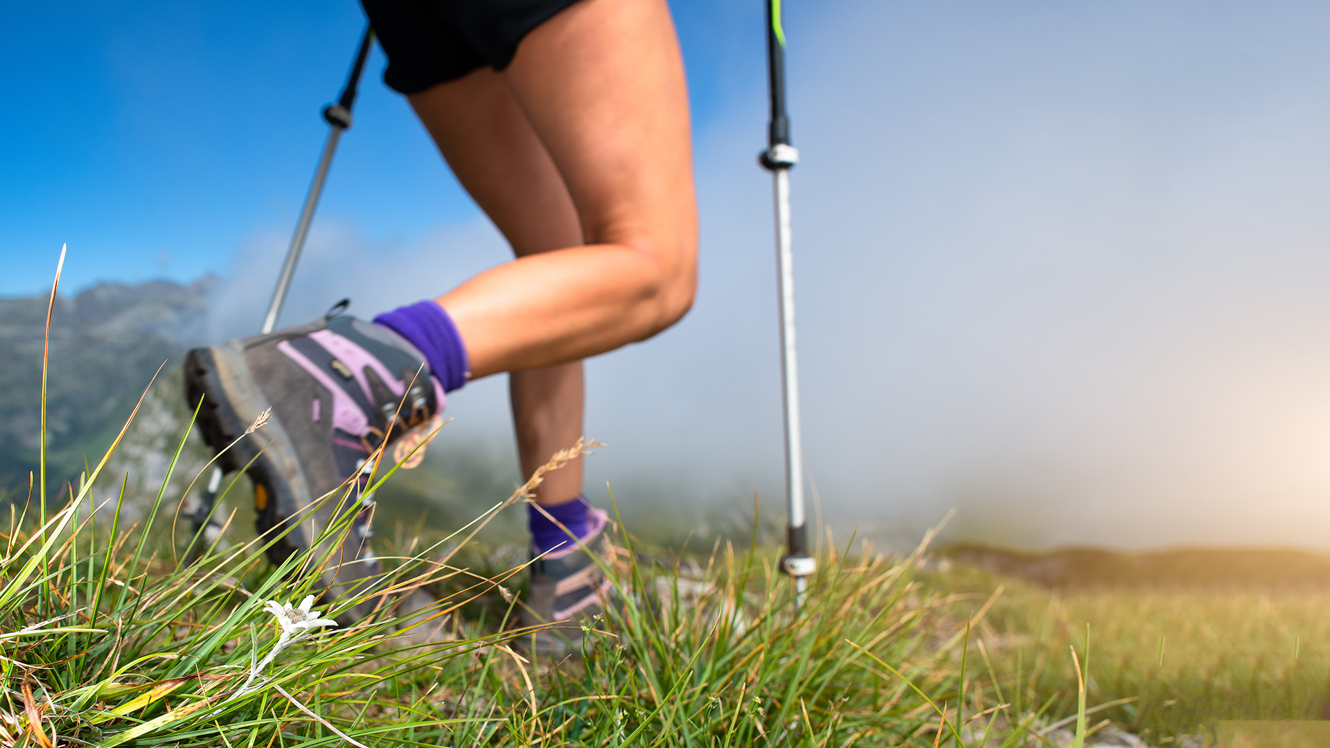
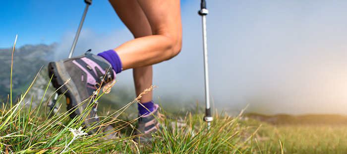
Walks & Trekking in Brenzone

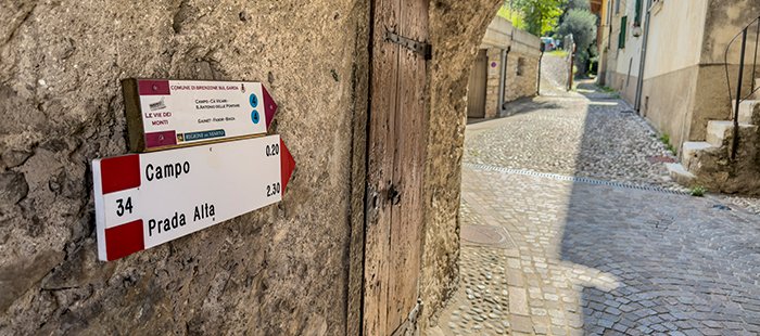
At the Tourist Office of Brenzone (Via Zanardelli 38, Porto di Brenzone), you can find hiking maps showing the full network of trails, refuges, and natural points of interest.
You can also download the PDF map or GPS tracks of the routes.

Download map Download GPS tracks

Nordic walking on lush green grass. Explore sports activities in Brenzone!

Guide to the Trails and Treks in Brenzone sul Garda

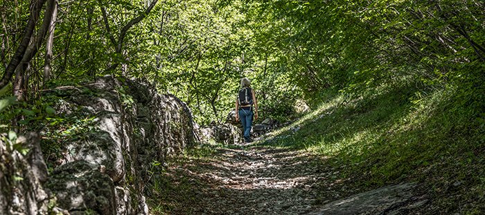
Brenzone sul Garda offers a rich and well-marked network of hiking trails, allowing you to explore a variety of landscapes — from the lakeshore up to the slopes of Monte Baldo.

Here is a selection of recommended routes, complete with technical details and useful tips.

Porto – Upper Villages Walk
Picturesque cobbled promenade from the port to the upper villages on Lago di Garda, amidst greenery, boats, and mountains, under a blue sky.

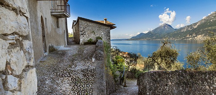
Starts from Porto and passes through panoramic hamlets with lake views and olive groves.

Difficulty
Easy
Length
3.7 km round trip
Elevation gain
minimal
Average time
1 h 30 min
Suitable for

families, strollers, casual walkers

+
Marniga – Magugnano – Campo Trail
Walks and trekking: path between Marniga, Mugugnaio and Campo

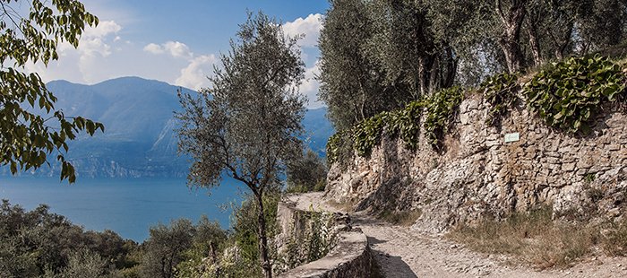
A hilly route through paths, small villages, and terraced landscapes with stunning lake views.

Difficulty
Moderate
Length
7 km round trip
Elevation gain
moderate
Average time
2 h
Suitable for

hikers with basic fitness

+
Nordic Walking Park
Nordic walking park: A person with hiking boots on a path through tall grass, towards the mountains of Brenzone at dusk.

Marked circuits that combine exercise with cultural discovery, passing through villages, woods, and rural areas.

Difficulty
variable
Length
from about 3.7 km to 20 km (4 loops and one variant)
Elevation gain
3 loops, about 12 km total
Average time
gentle to medium
Suitable for

sporty walkers and families (check stroller accessibility beforehand)

+
CAI Trail 1 “Via dei Monti”
Signposts for the mountain path, ideal for walks or trekking.

From Magugnano to Campo → Ca’ de l’Omèn → Ca’ Politei → Val di Fiès → Prada. Can be combined with a return by bus or chairlift.

Difficulty
Challenging
Length
about 9 km (one way)
Elevation gain
approx. 950 m
Average time
2 h 30 min
Suitable for

experienced hikers

+
CAI Trail 1 “Via dei Monti” - Variant 1A
A hiker on a dirt path among trees and rocks, exploring the natural trails of Monte Baldo in Brenzone.

a gentler alternative to the CAI 1 trail.

Difficulty
Easy
Suitable for

mountain bikes and walkers

+
CAI Trail 1 “Via dei Monti” - Variant 1B
A hiker on a dirt path among trees and rocks, exploring the natural trails of Monte Baldo in Brenzone.

a circular route through Campo, Fasor, and Biaza, returning along the lakeside path toward Castelletto.

Difficulty
Easy
+

Practical Tips:

mapsHiking maps are available at the Tourist Office in Porto di Brenzone.
routesAll routes are marked with CAI signs and trail markers.
technical clothingBring technical clothing, water, and hiking shoes.
cable liftSome routes are also accessible by mountain bike or can be combined with the Tourist Bus, the Prada cable lift and chairlift.